
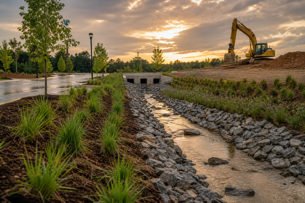
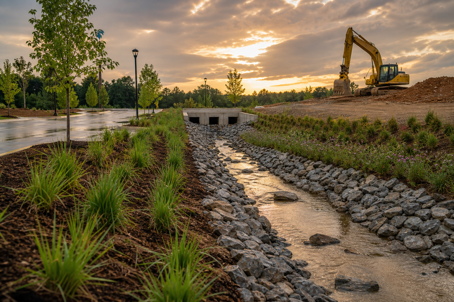
Stormwater drainage design considerations for Georgia projects
Who should use this checklist and a disclosure
This article is for developers, civil engineers, municipal staff, general contractors, and property managers planning site development in Georgia who need to review or procure stormwater drainage design and construction. It describes nine essential checks to confirm in a drainage package, standards and modeling tools commonly accepted by reviewers, permit and county considerations, and the documentation you should request in an RFQ. This checklist is a procurement and review aid, not a substitute for project-specific engineering or guaranteed permit approvals.
Nine essential checks for stormwater drainage design
Before you approve plans or solicit bids, verify these nine items appear in the design package and match the local criteria.
- Hydrology and design storms, confirm the hydrologic assumptions, rainfall data source, and design storm durations and return periods used for minor and major storm analysis.
- Hydraulic conveyance and sizing, verify pipe, culvert, and channel sizing with velocity checks and required freeboard.
- Inlet and gutter capture, check inlet locations and capture calculations to confirm curb and gutter will route runoff into the system for design storms.
- Detention, retention, and water quality, ensure basin footprints, stage-storage-elevation tables, outlet structures, and water quality measures are dimensioned and functional.
- Erosion and sediment control, confirm temporary and permanent erosion control measures, sequencing, and stabilization schedules are on the drawings.
- Outlet and downstream impacts, validate outfall capacity, scour protection, and downstream receiving channel checks or approvals.
- Access, maintenance, and safety, confirm access routes, removable trash racks, safety slopes, and maintenance notes for basins and manholes.
- Plan coordination with roadway grading, ensure roadway grades, crown elevations, and cross slopes align with drainage inlets and conveyance without creating ponding on travel lanes.
- As-built and GIS deliverables, require final as-built drawings, survey points, and GDOT-compatible GIS submittals where applicable for permit closeout and future maintenance.
Nine checks: what to look for in each drawing and model
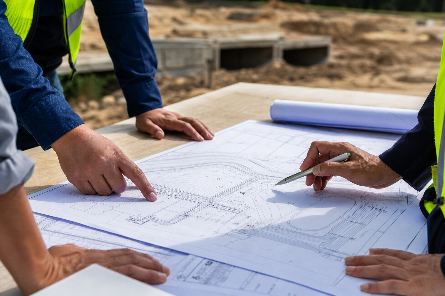
Below are practical verification steps for each essential check so you know what should appear on plans, model outputs, and reports.
1. Hydrology and design storms
Look for a hydrology table listing subcatchment areas, curve numbers or runoff coefficients, time of concentration, and design rainfall intensities. The report should state which rainfall data was used and the return periods modeled. If the package uses a modeling tool, expect hydrographs and peak flow tables for each node.
2. Hydraulic conveyance and sizing
Expect a pipe summary table with diameter, slope, material, flow, capacity, and velocity. For open channels, look for cross sections, Manning’s n values, and stage versus discharge tables. Where roadway drainage crosses property lines, confirm easements and encroachment notes are shown.
3. Inlet and gutter capture
Designs should include inlet types, spacing, capture calculations, and an inlet capture table. Check that curb returns, depressed sections, and throat elevations are detailed so the inlets perform as shown in the modeling output.
4. Detention, retention, and water quality
Review basin geometry, embankment and outlet structure details, emergency spillways, and storage tables. Water quality components, such as forebays, swales, or proprietary devices, should include performance assumptions and maintenance requirements.
5. Erosion and sediment control
Expect phased erosion control plans tied to the construction sequence. Typical submittals include silt fence locations, inlet protection, stabilized construction entrances, and temporary seeding or matting details.
6. Outlet and downstream impacts
Confirm outfall details including energy dissipation, scour protection measures, and a downstream impact statement or analysis. The designer should show that receiving channels can convey expected flows without causing upstream backwater or downstream erosion.
7. Access, maintenance, and safety
Look for maintenance notes, access drives, dimensions for removal of trash racks, and clearances for vacuuming or inspections. Safety features such as escape steps or gentle side slopes in basins should be detailed when required by local practice.
8. Plan coordination with roadway grading
Cross check plan and profile sheets for roadway crown, gutter line, inlet throat elevations, and driveway ties. Grade calculations and stationing that conflict with drainage elevations are a common source of rework during construction.
9. As-built and GIS deliverables
Request as-built drawings with surveyed rim and invert elevations, pipe lengths and materials, and exportable GIS attribute tables when projects will be submitted to GDOT or county asset systems. DCBC LLC lists GDOT as-built GIS submittals and stakeout plans among its virtual services for closeout documentation on its website.
Standards, models, and tools to require: SWMM, HEC-22, and DOT guides
Reviewers should accept modeling approaches that follow recognized guidance. EPA’s Storm Water Management Model is widely used for urban watershed and drainage system planning and can support gray and hybrid green/gray solutions, so require model files and node summaries when SWMM is used for analysis. See EPA guidance on SWMM for accepted uses and outputs for design verification in drainage systems: EPA SWMM documentation.
The Urban Drainage Design Manual, Hydraulic Engineering Circular No. 22, provides standard procedures for highway drainage design including inlet analysis and gutter flow. For projects along state routes, require references to HEC-22 methods in hydraulic calculations: HEC-22 Urban Drainage Design Manual. State DOT drainage manuals such as the Florida Drainage Design Guide illustrate how hydraulic and hydrologic chapters are organized and what reviewers expect for roadway projects, so confirm your submittal aligns with your project jurisdictional guidance: FDOT Drainage Design Guide.
When you reference these sources in your review comments, require the modeling deliverables that allow an independent reviewer to rerun or validate results. Typical deliverables to request from modelers include hydrographs, node and link summaries, stage-storage tables, and inlet capture tables.
Georgia permitting and local manual considerations
Georgia projects follow a mix of state, county, and municipal design requirements. For roadway projects in state right-of-way, confirm if GDOT submittal requirements apply and whether GDOT-compatible as-built GIS is required at closeout. For local permitting, each county or city sets its surface water design manual requirements, and these can vary widely. Ask bidders to confirm the applicable county manual and include compliance notes in their proposal and plans.
When to hire an engineering firm, a site work contractor, or a hybrid team
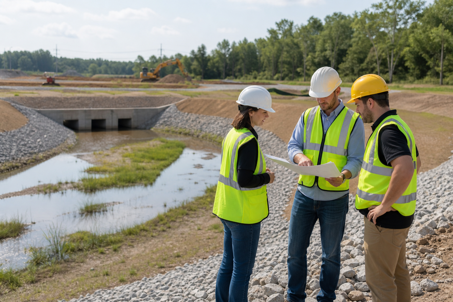
Decide based on complexity and risk. Hire an engineering firm to develop complex hydrologic models, regulatory coordination, and design-level details when flows impact regional systems or require complex permitting. Select a site work contractor when the project is standard conveyance, pipe installation, and basin construction and when you need integrated build capability.
Hybrid teams that pair engineering with contractors offering virtual deliverables are effective when you want fast permitting and tight construction coordination. If you need construction stakeout plans, roadway grade calculations, or GDOT as-built GIS submittals combined with installation, a hybrid contractor model can reduce change orders and speed closeout. DCBC LLC lists integrated construction and virtual services such as stakeout plans and grade calculations as part of its service offering.
For projects where you require both design responsibility and contractor warranty, clarify roles in the contract. State who is responsible for permitting, who will sign and seal design documents, and who will perform as-built surveys.
Documentation and deliverables you must request in an RFQ
Require bidders to include the following deliverables with their proposal. These items make technical review, permitting, bidding, and closeout smoother.
- Hydrologic and hydraulic report with assumptions and design storm definitions.
- Complete model files and outputs, including hydrographs, node summaries, and inlet capture tables when SWMM or other software is used.
- Plan set with plan and profile sheets, basin details, outlet structures, and erosion control sheets.
- Pipe and inlet schedules with material, slope, capacity, and computed flows.
- Construction stakeout plans and roadway grade calculations for accurate field layout.
- Maintenance and operation instructions and a schedule for basin and device maintenance.
- As-built survey with surveyed rim and invert elevations and GDOT-compatible GIS submittal where required.
- Phased erosion and sediment control plan tied to the construction schedule.
Common objections and how to manage risk and timeline impacts
Typical objections include cost concerns, schedule impacts due to modeling or permitting, and downstream acceptance by third parties. Mitigate these risks by scoping a preliminary model and concept-level permit package to identify fatal flaws early, breaking permitting into phased approvals where allowed, and specifying responsibilities for downstream approvals in the contract. If budget is a primary constraint, ask for value-engineered conveyance options and alternative outfall solutions and compare lifecycle maintenance implications, not only initial cost.
Next steps: checklist for your Request a Quote and who to contact
Copy this short RFQ checklist into your project solicitation to receive complete proposals.
- Project location and parcel information and jurisdiction for permitting.
- Scope summary including anticipated roadway impacts and grading limits.
- Required deliverables list from the previous section.
- Reference to the applicable county or DOT drainage manual and any permit deadlines.
- Contract expectations for as-built GIS and final survey submittals.
- Decision date and contact for questions.
For combined construction and virtual deliverables, consider asking experienced site contractors that hold DOT certifications and provide stakeout, grade verification, and GDOT as-built GIS submittals. Learn more about integrated project management and delivery options on DCBC LLC’s project management page.
Frequently asked questions
What does stormwater drainage design include and who prepares it?
Stormwater drainage design typically includes hydrologic analysis, hydraulic sizing of pipes and channels, inlet layout and capture analysis, detention and water quality design, erosion control, and construction drawings. An engineering firm prepares design-level calculations and reports, while site contractors often provide construction details, stakeout plans, and as-built documentation. Some contractors also offer virtual engineering deliverables to bridge design and construction stages.
How does the SWMM model support stormwater drainage design and what outputs should I expect?
EPA’s SWMM is used for runoff hydrographs, node and link flow summaries, stage-storage relationships, and system routing for combined gray and green infrastructure analysis. Require bidders to include model files, hydrographs, node summaries, and inlet capture tables when SWMM is used so an independent reviewer can validate results. See EPA guidance for accepted SWMM uses and outputs: EPA SWMM documentation.
What Georgia or DOT-specific requirements should I confirm before approving a drainage design?
Confirm whether the project is within GDOT right-of-way and requires GDOT submittal standards or as-built GIS. Also check county and municipal surface water design manuals for local submission formats and technical criteria. Local manuals can differ by county, so require bidders to state the applicable manual and demonstrate compliance in their submittal.
When is a contractor with virtual engineering services preferable to separate engineer and builder teams?
A hybrid contractor is preferable when you need tight coordination between design and construction, fast turnaround for permit-ready plans, and accurate stakeout and as-built deliverables. This model reduces translation errors between office drawings and field layout, and it often speeds closeout when the contractor delivers GDOT-compatible GIS and grade verification.
What documents and as-built deliverables should be required for permit closeout and GDOT submittals?
Require final as-built drawings with surveyed rim and invert elevations, updated plan sheets reflecting installed improvements, model updates if field conditions altered storage or flows, and exportable GIS attribute tables compatible with the receiving agency. If GDOT submittals are needed, specify GDOT as-built GIS format and coordinate the required attribute schema in the RFQ.
Request a quote or contact DCBC LLC to discuss combined construction and virtual engineering delivery for stormwater drainage projects in Georgia.