
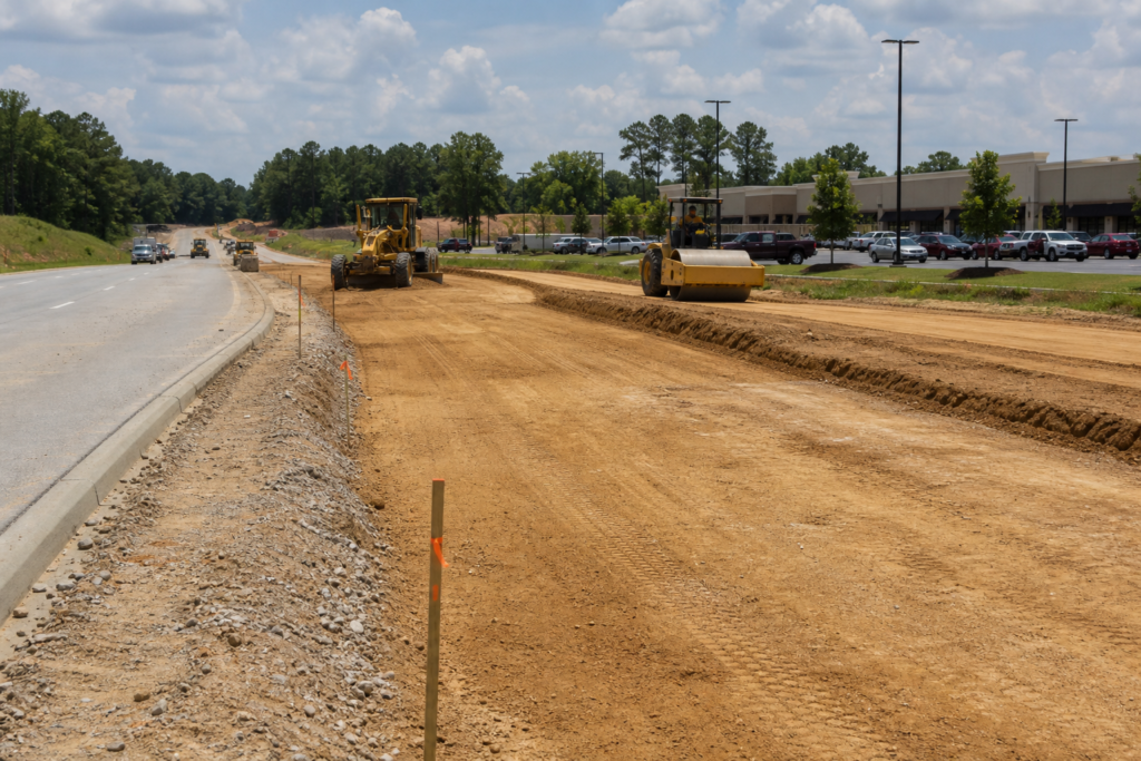
What Should Bethlehem Turn Lane Planning Address First?
Turn lane planning in Bethlehem, Georgia, involves more than deciding where pavement should be added. Project teams must review the proposed access, existing roadway, vehicle movements, sight conditions, grades, drainage, earthwork, pavement transitions, markings, staging, and applicable agency requirements.
Use this checklist to organize conversations with the owner, engineer, surveyor, reviewing agency, and roadway contractor. It is a planning resource, not a final engineering design, traffic study, permit determination, or approval guarantee.
1. Start with the access function and roadway context
First establish why the turn lane is being considered. It may support a commercial entrance, residential subdivision, roadway improvement, or public infrastructure project. Defining the objective helps the design team evaluate the improvement as part of the wider site and roadway network rather than as an isolated paving task.
Review the existing roadway, nearby driveways, intersections, property limits, development entrances, and project boundaries. Identify whether the work affects a local road, a larger public roadway, or a route requiring Georgia Department of Transportation coordination. These details help determine who needs to review the concept and what information is needed before pricing.
2. Identify turning movements and vehicle types

Document the movements the access is expected to serve. Consider passenger vehicles, delivery trucks, construction vehicles, emergency access, and other users relevant to the development. A commercial property, subdivision, and public facility may have different operating needs even when each involves a roadway entrance.
Give the engineer and reviewing agency the best available description of expected traffic, delivery activity, operating conditions, and access patterns. Avoid relying on generic assumptions when project-specific information is available. The design discussion can then address the appropriate operational and safety questions for that location.
3. Review survey, sight conditions, and roadway grade
Reliable existing-condition information is essential before layout or construction decisions are made. Useful information may include topography, roadway elevations, property lines, pavement edges, drainage features, utilities, driveways, signs, and other improvements. Field observations should also identify conditions that could affect visibility or the relationship between the proposed access and nearby roadway features.
Sight-distance and geometric analysis belong with the project design professional and reviewing authority. A contractor can support approved information through construction stakeout, three-point level verification, and roadway grade calculations, but those services do not automatically replace professional design or agency review.
4. Coordinate stormwater drainage and erosion control
Changing the roadway edge can alter runoff patterns. Review the relationship between the proposed lane, existing ditches, slopes, inlets, pipes, culverts, downstream conditions, and adjacent properties. Depending on the approved design, the drainage scope may involve HDPE or reinforced concrete pipe, drop inlets, catch basins, manholes, slope drains, roadway crossings, flumes, or spillways.
Coordinate erosion-control measures with grading and drainage. Depending on the project, these may include silt fence, inlet protection, seeding and mulching, check dams, or erosion matting. Final drainage design, environmental obligations, and agency requirements depend on project-specific engineering and review.
5. Check earthwork, grading, and subgrade implications
A turn lane may require excavation, fill, slope adjustments, shoulder work, transitions, and subgrade preparation. Review how it connects to the existing roadway and site grades, particularly where the access crosses uneven terrain or interacts with drainage infrastructure. Grade relationships should be coordinated with pavement sections and tie-in details rather than addressed after earthwork planning.
Early estimation and takeoff can help identify work categories and missing information. Quantities and pricing should still be based on available plans, survey information, site conditions, and a defined scope. DCBC LLC lists earthwork and grading, estimation and takeoff, roadway grade calculations, and three-point level verification among its capabilities.
6. Plan pavement, milling, and asphalt transitions
Turn lane construction often requires coordination between existing pavement and new work. The scope may involve asphalt paving, milling, pavement removal, tie-ins, surface transitions, and adjustments where the widened area meets the existing roadway. The appropriate treatment depends on pavement condition, approved design, grades, construction limits, and applicable requirements.
Ask how pavement work will connect with grading, drainage, striping, and future maintenance planning. For related maintenance considerations, review asphalt paving lifecycle risks. DCBC LLC provides asphalt paving and milling, but a quote should distinguish new paving, milling, repairs, transitions, and related site work.
7. Coordinate striping, signage, and roadway features
Completed pavement is only one part of a usable access improvement. Approved plans and applicable authorities may require paint striping, lane markings, traffic signage, highway signs, crosswalk markings, handicapped striping and signing, or wheel stops when the broader site scope includes those features.
Confirm what belongs within the roadway improvement, what belongs within the site plan, and who is responsible for layout, installation, inspection, and closeout documentation. DCBC LLC lists paint striping and sign work, including parking stalls, crosswalk markings, traffic signs, and wheel stop installation.
8. Consider construction staging and continued access
Identify how work will proceed while existing roads, businesses, residents, or development sites remain accessible. Discuss the sequence for grading, drainage, pavement, striping, signage, and erosion-control measures. Review equipment access, material delivery, temporary entrances, work areas, and coordination with adjacent property owners or public agencies.
Staging depends on the approved traffic-control plan, site constraints, construction limits, and public-access requirements. Do not assume that a standard sequence or schedule will suit every Bethlehem project.
9. Separate design, construction, and documentation responsibilities
The owner or developer defines the access objective and constraints. The engineer and surveyor develop or support project-specific design information, the reviewing agency determines applicable requirements, and the contractor uses approved information to plan and perform construction, estimate work, coordinate field activities, and provide agreed documentation.
DCBC LLC combines civil construction with selected virtual and consulting services, including construction stakeout plans, house location plans, roadway grade calculations, three-point level verification, estimation and takeoff, and GDOT as-built GIS submittals. These deliverables should be clearly defined against the responsibilities of the project engineer, surveyor, and agency.
10. Assemble project information before requesting a quote
Gather the following information where available:
- Project location in or near Bethlehem, Georgia, including the roadway and proposed access point.
- Project type, such as commercial development, residential subdivision, roadway improvement, or public infrastructure.
- Available civil plans, roadway plans, survey information, topographic data, and property information.
- Existing pavement, drainage, slopes, utilities, driveways, and other constraints.
- Expected vehicle movements, delivery activity, construction access, and emergency-access considerations.
- Known engineer, surveyor, owner, municipality, or Georgia DOT involvement.
- Requested grading, drainage, paving, milling, erosion-control, striping, signage, or staging scope.
- Requested stakeout, grade calculation, estimation, takeoff, or as-built GIS deliverables.
- Relevant schedule constraints and access requirements.
DCBC LLC uses quote-based pricing tailored to construction scopes and virtual or engineering deliverables. Complete information helps identify assumptions, exclusions, and coordination needs, but does not guarantee a price or approval.
How to use this checklist without replacing professional review
Begin with the access objective and roadway context. Confirm the design and agency-review path, obtain reliable field information, coordinate turning movements with grades and drainage, define earthwork and pavement, and identify marking, signage, staging, and closeout requirements.
This process helps determine whether the project needs a full design effort, contractor input, specialized field work, virtual documentation, or turnkey civil site work. A checklist cannot establish project-specific warrants, dimensions, sight-distance requirements, permits, or approval outcomes.
Frequently asked questions about Bethlehem turn lane planning
When should a contractor be involved in turn lane planning?
Early contractor involvement can help address constructability, grading, drainage, paving, erosion control, quantities, staging, and scope divisions before bidding or mobilization. The design professional and reviewing agency retain responsibility for design, applicable requirements, and approvals.
What information should I send when requesting turn lane construction pricing?
Send the project location, roadway and access information, project type, available plans, survey or topographic information, pavement and drainage conditions, expected vehicle movements, agency context, desired scope, documentation needs, and schedule constraints. Pricing detail depends on the information available for review.
Can a roadway contractor provide stakeout and grade calculation support?
A contractor may provide defined field or virtual deliverables that support layout and construction coordination. DCBC LLC lists construction stakeout plans, three-point level verification, and roadway grade calculations. These should be coordinated with the project surveyor and engineer and should not replace licensed design, survey control, or agency review.
What does Georgia DOT certification mean when comparing contractors?
DCBC LLC identifies itself as a Georgia DOT-certified contractor. That credential is relevant for roadway and public-infrastructure work, but compare it alongside scope, construction capabilities, documentation responsibilities, project requirements, and coordination plans. Certification alone does not guarantee approval, schedule, cost, or construction results.
Make the next turn lane planning decision with the right information
Define why the access improvement is needed, identify expected movements and roadway context, and gather available surveys, plans, drainage information, and existing-condition details. The owner and design team can then clarify agency coordination, while the contractor helps define constructability, quantities, staging, and the construction or consulting scope.
For Bethlehem and other Georgia projects, DCBC LLC is a Georgia DOT-certified civil site work and roadway construction contractor offering turnkey or specialized support for grading, stormwater, erosion control, asphalt paving and milling, striping, signage, stakeout plans, roadway grade calculations, estimation and takeoff, and GDOT as-built GIS submittals. Request a quote from DCBC LLC with the project information and deliverables your team needs reviewed.